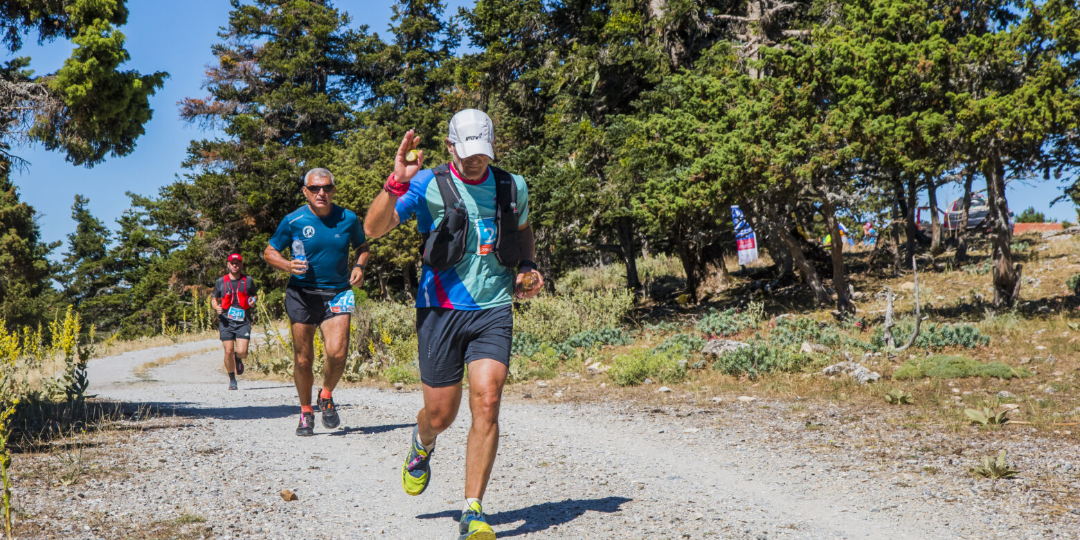
A unique mountain run will take place on Sunday June, 11 across the slopes of Mount Parnon at Lakonia, with the village of Vamvakou serving as the starting point and finish line. Join us to cross gorges, forest roads and trails, starting from an altitude of 950m. to reach an idyllic mountain setting at 1,600m. after following a route of varied landscape. The sports event is being realised for the third time by Vamvakou Revival, within the framework of the initiative for the revival of the village with the support of the Stavros Niarchos Foundation (SNF).
Those interested are invited to register here. A symbolic participation fee of 5 Euros applies; if you would like you have the chance to give more money for the good cause. The amount collected will be provided in order to cover part of the cost of the of the trip of “Northside” robotics team from the 3rd General Vocational Senior High School of Sparti that will represent Greece in the international competition FIRST® LEGO® League Asia Pacific Open Championship, which will take place in Sydney, Australia from June, 30 to July, 2 of 2023.
It must be noted that Vamvakou Mountain Run does not have a competitive profile; instead, its goal is to reward participation, achieve the familiarization of the people with mountain running and spread a sports culture. However, official timing will apply on both races, of 28km and 7km respectively. Moreover, at 13:30, the closing ceremony of the 7km-race will take place where medals will be awarded and then, at 15:30, the closing ceremony of the 28km-race will take place where medals will be awarded.
Supervised by: Ioannis Dimopoulos
Awards
During the closing ceremony, medals will be awarded to the first 3 winners of the general rank of race 7 km for both Men and Women.
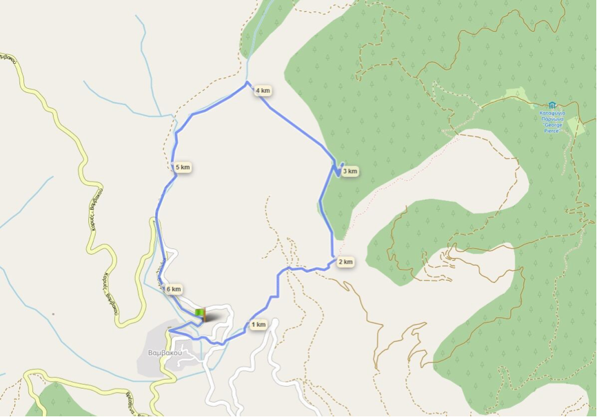
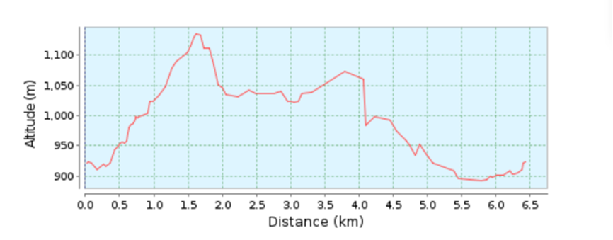
Brief route description:
1. Starting point: Stathmos Sygkiniseos [Emotion Station], 0 km: 950 m. altitude
2. Logou location, 2nd km: 1,038 m. altitude
3. Agia Kyriaki location, 5th km: 984 m. altitude
4. Finishing point: 7th km: 950 m. altitude


